Colorado Trail Part 2

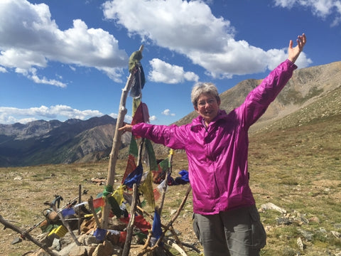
LightHeart Gear owner Judy Gross is currently thruhiking the Colorado Trail, sleeping in her LightHeart tents and seeing some fantastic views! Here's the second part of her personal account of life on the trail:
Friday, August 19th, 2016:
Collegiate West Section. This part of the trail is approximately 80 miles long. I hiked it 3 years ago when it first officially became part of the Colorado trail. This was (and of course still is) part of the Continental Divide Trail (CDT). Since the CDT does not really manage the trail, the Colorado Trail Foundation took it over and has been "fixing" it. All I can say is Wow!
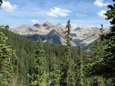
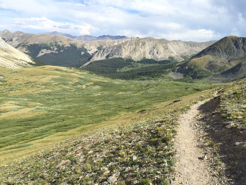
This part of the trail starts with Hope Pass and continues to just after Monarch Pass where the ‘east side’ joins back up to the trail. I've never hiked the east side, but I'm told there are no views and you don't go as high. Three years ago, the 'west side' had a lot of road walks, and these are now gone. The new sections – which include over 30 miles of trails – take you to soaring new heights up to 12,800+ feet. There are lots more climbs with more spectacular views and you feel like you are out in the middle of absolutely nowhere. There are no signs of any civilization along the way (no cell service either). I'm so amazed at the sheer amount of engineering it took and the labor to put in these trails.
Hope Pass was 'easy' this time. It took me a measly 3.5 hrs to climb the 3.8 miles and 3,300 feet to the top. It helps that it was early morning and very cold for the climb. I had planned to wake early (5 am) and be on the trail by 6 am – best laid plans... Instead, I woke at 6 am. 6:40 am saw me climbing. Around 7:30 am we broke out into some sunlight and by 8 am we were into the tree line area at 11,000 feet. The open meadow areas were covered in frost. 10:15 am saw us at the top. We took a long sit down break and headed downhill. The south side of the mountain is much harder than the north, and going downhill is always harder for me.
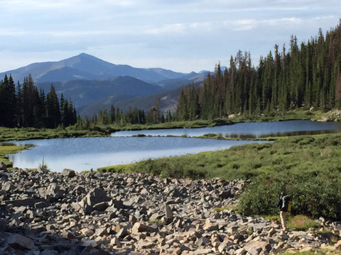
Lake Ann Pass the next day was tougher because it was HOT and sunny. There are numerous difficult rock/scree sections on the north side of the pass, but the south side is easy and beautiful. I met Dan Cohen, a member of the Colorado Trail Foundation Board, and we had a nice discussion of guide books, maps and apps. He was hiking with a geologist to mark points of interest along the trail for GutHooks App.
After Lake Ann Pass the trail drops way down and puts you on the Timberline Trail. The upper portion of this was greatly improved from 3 years ago, but it is a dirt bike trail and the lower few miles is a total disaster for hiking (I'm sure the dirt bikers love it though). Early the next morning, I was the first one out of camp, I was hiking along a (short but flat) section and suddenly I noticed something weird just down the trail. Two moose were standing right in the middle of the trail less than 50 feet from me. One was a bull moose, I didn't get a good enough look at the other to know if it was a cow or not. We looked at each other for a second or two and I grabbed the closest tree to hide behind. Every time I would try to step out on the trail to get a photo, the bull would walk a few steps toward me and I'd duck back behind the tree! After 5 minutes of this, another hiker came along and the 2 moose silently slipped up the hill and disappeared.
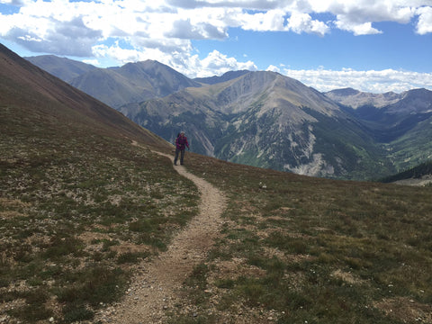
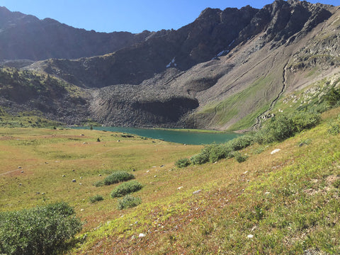
The new portion of the trail starts after this, and it's brutal! You ascend almost 3000 feet and then it's up and down 500 to 800 feet in rapid succession. The new trail totally bypasses the Tin Cup road walk we did last time, and takes you into a 'bowl' where you are surrounded by mountains soaring to 13,000 and 14,000 feet. Unlike theAppalachian Trail, here you look for the smoothest saddle between the peaks and you can usually make out some switchbacks going into it. One will have long easy switchbacks and the next has short steep ones! The trail goes by numerous alpine lakes, along an old rail road bed and then up onto the actual Continental Divide. Huge storms were blowing all around us, just not on us. We could see fresh snow on some peaks and we watched the rain pour down off in the distance and hiked through areas covered in hail.
I'm taking a "zero" day in Salida and meeting up with lots of the hikers I had met on the trail. My poor feet have been put through the ringer with a couple of 18 mile days back to back! Tonight I'm looking forward to a nice dinner and glass of red wine.
More to come!
